
By delving into critical factors such as elevation, slope, and drainage, precision agriculture technologies empower farmers to refine their strategies for planting, irrigation, and soil conservation. This article delves into the importance of topographic inventories, alongside effective silo inventory management and the role of grain warehouses in completing the agricultural inventory puzzle, all while promoting sustainable farming practices.
Understanding the Significance of Agricultural Land and Silo Inventory Mapping
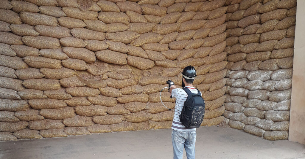
Accurate mapping of agricultural land, which encompasses a detailed topographical analysis coupled with efficient silo inventory management, is essential for achieving successful crop production and robust resource management. The topography of land significantly impacts water drainage patterns, sunlight exposure, and wind conditions. Each of which plays a pivotal role in the growth and health of plants. Additionally, effective management of silo inventory is crucial for ensuring that grain storage is conducted efficiently. Allowing farmers to closely monitor supply levels and minimize the risk of waste. By understanding these interconnected elements, farmers can make strategic and informed decisions regarding crop selection and storage. Which ultimately leads to enhanced yields and superior resource utilization.
Furthermore, the features of topography directly influence soil erosion patterns and nutrient distribution across farmland. Regions characterized by steep slopes are often subject to heightened erosion. Resulting in the loss of fertile topsoil, while flatter areas tend to retain moisture and nutrients more effectively. Recognizing these disparities enables farmers to adopt efficient soil conservation techniques that not only promote sustainability but also enhance overall agricultural productivity, ensuring that resources are used wisely and responsibly.
Innovative Uses of Topographic and Silo Inventory in Contemporary Agriculture
Topographic and silo inventory management have become indispensable components of modern agricultural practices, enriching the decision-making processes for both farmers and agronomists alike. The integration of precision agriculture technology, which includes tools such as Geographic Information Systems (GIS) and Real-Time Kinematic Global Positioning System (RTK-GPS), allows for the meticulous mapping of land features, including elevation changes and soil characteristics—these are critical for effective agricultural resource management.
One remarkable application of this technology is the creation of management zones and Variable Rate Application (VRA) maps. By segmenting fields according to topographical variations, farmers can customize their inputs. Ranging from fertilizers and pesticides to irrigation more accurately. This targeted approach not only optimizes the use of resources but also contributes to increased crop yields and promotes sustainability. The integration of silo inventory data further enhances the efficiency of grain storage and utilization. Effectively reducing spoilage and waste in the process.
By synthesizing topographic data with cutting-edge precision farming techniques, farmers gain a comprehensive understanding of how various landscape features interact with agricultural productivity. This in-depth knowledge empowers them to implement strategies tailored to specific field conditions. Resulting in more effective and sustainable farming practices that benefit both the environment and the economy.
The Benefits of Thorough Topographic and Silo Inventory Analysis in Agriculture
The advantages of conducting a comprehensive analysis of topographic and silo inventory are substantial. As they significantly enhance productivity and sustainability within the agricultural sector. One of the primary benefits is the improvement of water management and drainage systems. By thoroughly understanding the contours and slopes of the land, farmers can devise effective drainage solutions. That prevent waterlogging and minimize soil erosion. Thereby ensuring that crops receive the optimal moisture necessary for growth.
In addition, the combination of agricultural land mapping with accurate silo inventory management facilitates the optimization of land use and strategic planning. By mapping various elevations and landforms, farmers can identify the most suitable areas for cultivating different crops. Thereby maximizing land use efficiency while improving grain storage practices. This level of strategic planning not only enhances productivity but also minimizes the environmental impact associated with farming, contributing positively to a healthier ecosystem overall.
Moreover, topographic analysis, when combined with diligent inventory management, supports increased crop yields and sustainability by enabling informed decision-making. Access to precise topographic and inventory data allows farmers to make better choices regarding crop rotation, irrigation schedules, and fertilizer applications, all of which lead to healthier crops, higher yields, and a more sustainable agricultural approach that conserves valuable resources and significantly reduces waste.